Home
Federated Marine Spatial Data Infrastructure - WES Demonstration Portal.
Discover, View and Access Geospatial Data Products and Services.
Enhanced Situational Intelligence for Government Agencies, Military Personnel, and Authorized Users.

Getting Started
Request a Free Account to Gain Access to the Scenarios

An account is required to access the WES demonstration portal. Creating an account is free of charge.
- Select the Create Account link
- Fill in the information and select save.
- You will receive an e-mail notification that your account has been approved. (This may take up to two business days.)
- Once your account has been approved follow the steps below to access the demonstration scenarios.
Accessing the Data Integration Scenario

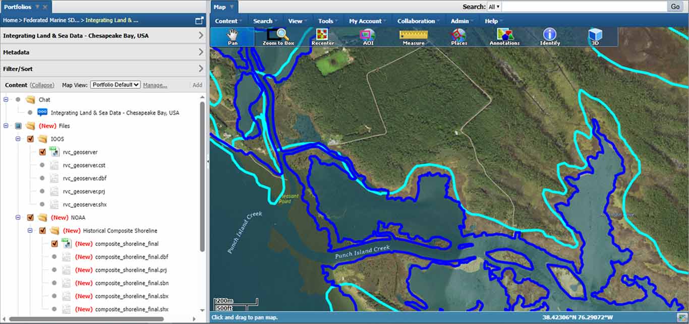
The data integration scenario integrates terrestrial and marine data from various sources into a common operating picture.
Select one of the follow buttons to view the data integration scenario. (You will need to be Signed In to see the buttons.)
Accessing the Vessel Navigation Scenario

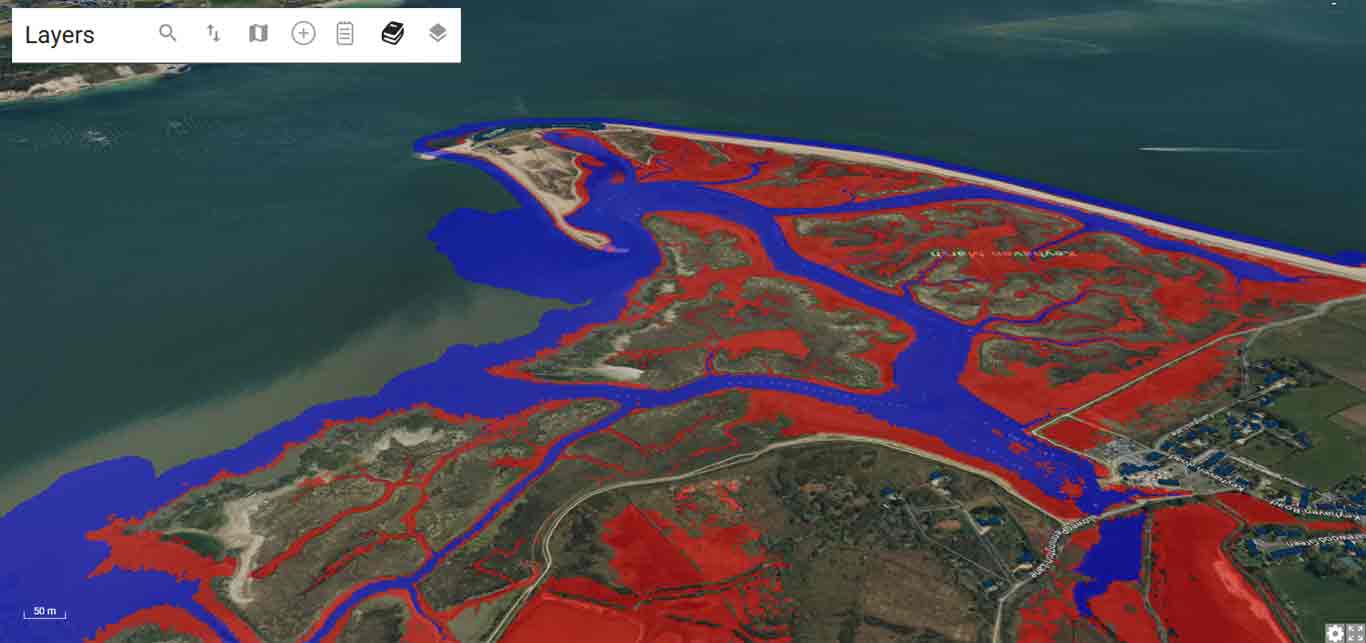
The vessel navigation scenario uses an OGC API Process and Map to visulize ptentially navigable waters for a vessel of a given draught.
Select one of the follow buttons to view the vessel navigation scenario. (You will need to be Signed In to see the buttons.)
Provided by Compusult © | Privacy Statement
